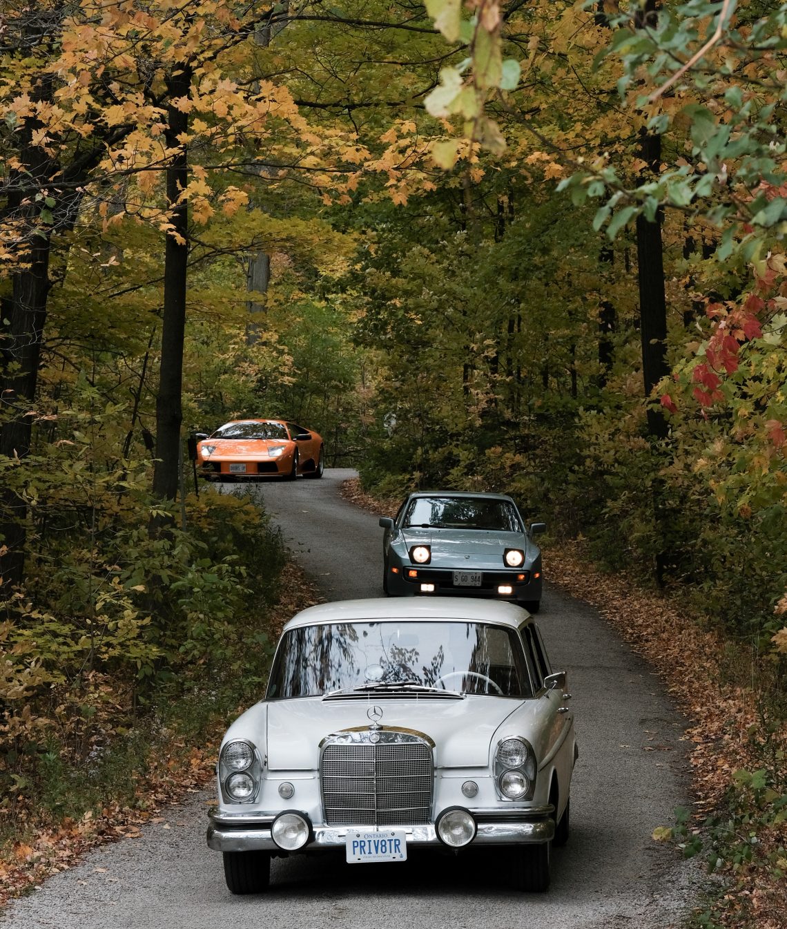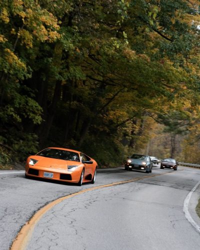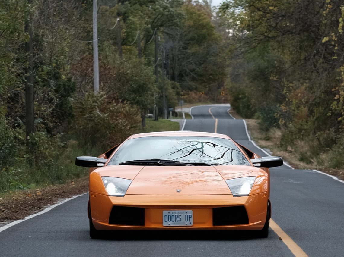
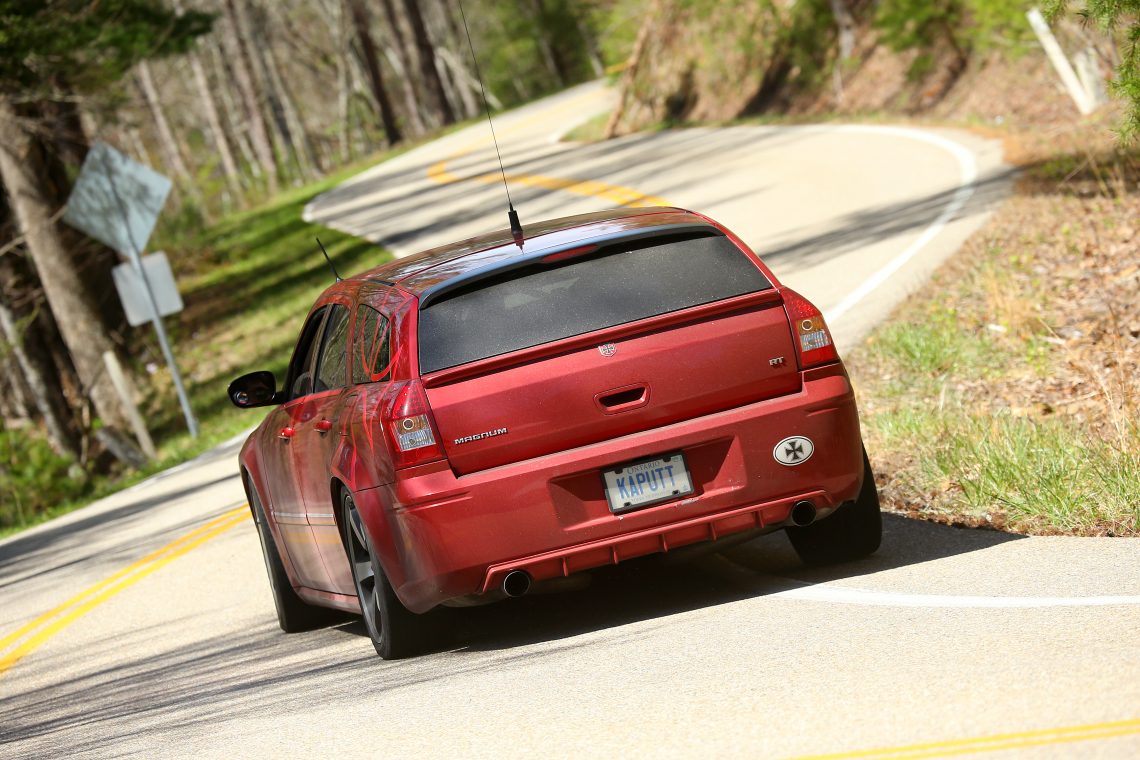
Finding the Road Less Traveled
Recently on a Frontseat Driving event I was asked how I had found such a great collection of backroads. I simply answered with a laugh that I drive a lot. While that IS true, and while I do oftentimes simply steer the car up a road simply because I’m not familiar with it, truthfully there is a lot more to finding great driving roads especially when travelling abroad.
Before you can travel the road less traveled, you have to find it. Today’s mapping technology, along with the proliferation of GPS has made navigation a breeze. Getting from point A to point B has never in history been so easy, and so terribly boring.
These days finding your way is as easy as plugging in your destination, you don’t even need to include your current location, the magic box in your hand knows precisely where you are. Instantly this results in typically two or three routes being mapped out, one is the route with the shortest distance, perhaps a toll free route, and even one avoiding construction or traffic delays.
That’s fine for getting to the airport, or finding the nearest Starbucks but when it comes to enjoying the narrow, and twisty backroads and the small towns that dot them, today’s tools are nearly useless.
While new technology has it’s place, when it comes to finding great driving routes we use old technology, usually books. Instantly you likely think of atlases and folding paper maps, as they are certainly invaluable tools of the trade. While we’ll cover both shortly they aren’t our first choice in fact it’s history and geography books that we have found to be the most useful. No we don’t read them before every outing, but once you’ve read a few they become the single greatest source of reference. The knowledge contained within them provides the foundation that the rest of our efforts rest upon.
Seems a stretch, I know so let’s quickly dispel your incredulity with a quick explanation. Understanding how man got around, and how the land was settled and the first roads developed through time, provides some insight into finding great routes.
Regardless of where you live, who was there first, or who tamed the wilderness to build communities as we know them, following the steps of the first explorers and those that followed will always lead to great driving roads.
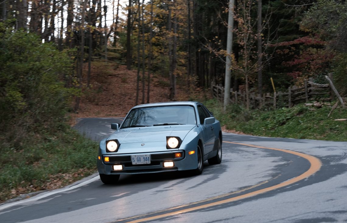
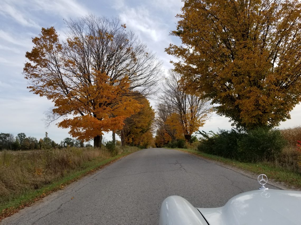
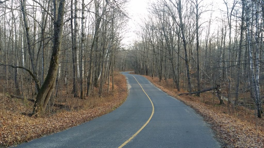
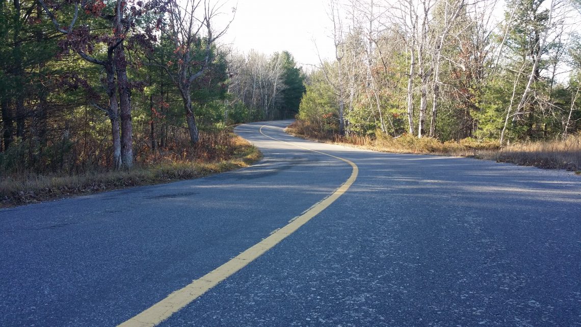
I think we can all agree that the best roads, are the winding and undulating roads. And those roads are usually the oldest roads. This isn’t by chance. The earliest roads evolved from foot paths, that were in fact worn by hunters following (usually) deer, as a result nearly every locale in North America has a Deer Run road. Later many roads simply followed the European settlers’ footsteps as they puddle jumped from lake to lake along rivers as they made their way inland. Here again put Portage Road into Google maps and see how many hits you find.
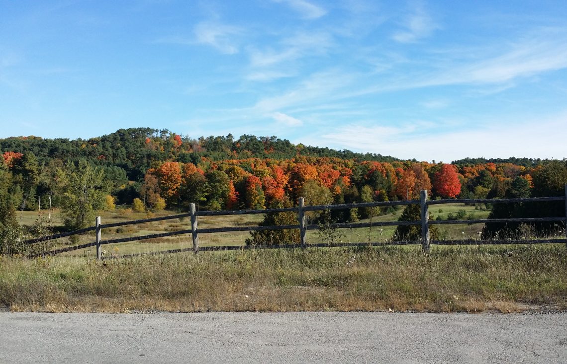
Man has always relied on water. Whether as routes of travel, to feed their crops and livestock, or run their mills that ground flour, cut lumber, and eventually produced electricity. So as the settlers made their way upriver eventually deciding to put in roots along the way, towns sprung up. The roads connecting these towns simply followed the path of least resistance, alongside the river. And rivers rarely run straight.
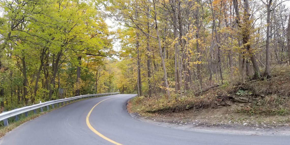
While rivers rarely run straight they always run in the lowlands, often in the valleys of hills or even mountains. While building a road upriver was pretty easy the need to build roads from one valley to the adjacent valley required greater engineering. These roads followed the topography for ease of construction, which of course was very rarely straight, instead often climbing and curling around these same hills and mountains.
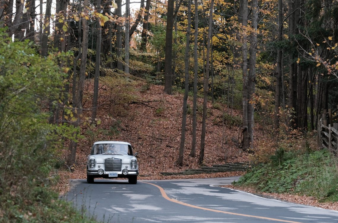
Of course as trade and industry increased, and before trains spanned great distances with ease, ships were the transportation mode of choice. Ships relied on the depth of oceans, the deepest rivers, and large lakes, which is of course where you find the world’s largest cities. These large cities usually built up on vast flat areas at the mouths of rivers, became the greatest sources of employment and thus settlement. This left the smaller hamlets, towns, and villages on tributaries, and valleys upriver to grow more slowly, and to resist industrial growth all the while becoming increasingly charming and quaint. While some of these early roads were eventually flattened, straightened and paved smooth, in most cases that was impracticable and they remain twisty two lane roads to this day.
So through our history and geography books we’ve learned that the best roads follow rivers, and valleys running upstream from the big cities. We’ve learned that mountain passes (also called gaps in the American south) connecting valleys are equally twisty in addition to offering great views. And since the largest cities are usually found further downstream at the mouths of these rivers, the most charming small towns and villages are often found along these same roads.
In many cases the towns, villages, and hamlets of past are long gone made redundant by evolving technology. But often vestiges of their industry are left behind. Towns as mentioned earlier often sprung up alongside a creek or river often at the site of a waterfall or set of rapids where the rushing water could power a mill. Often those mills remain as historic monuments, fancy restaurants, antique shops, or maybe just a decrepit foundation of field stone. Sometimes the memory is so faint that one has to rely on the road’s name, but rest assured most any Old Mill Road will be a decent driving road or in the vicinity of some.
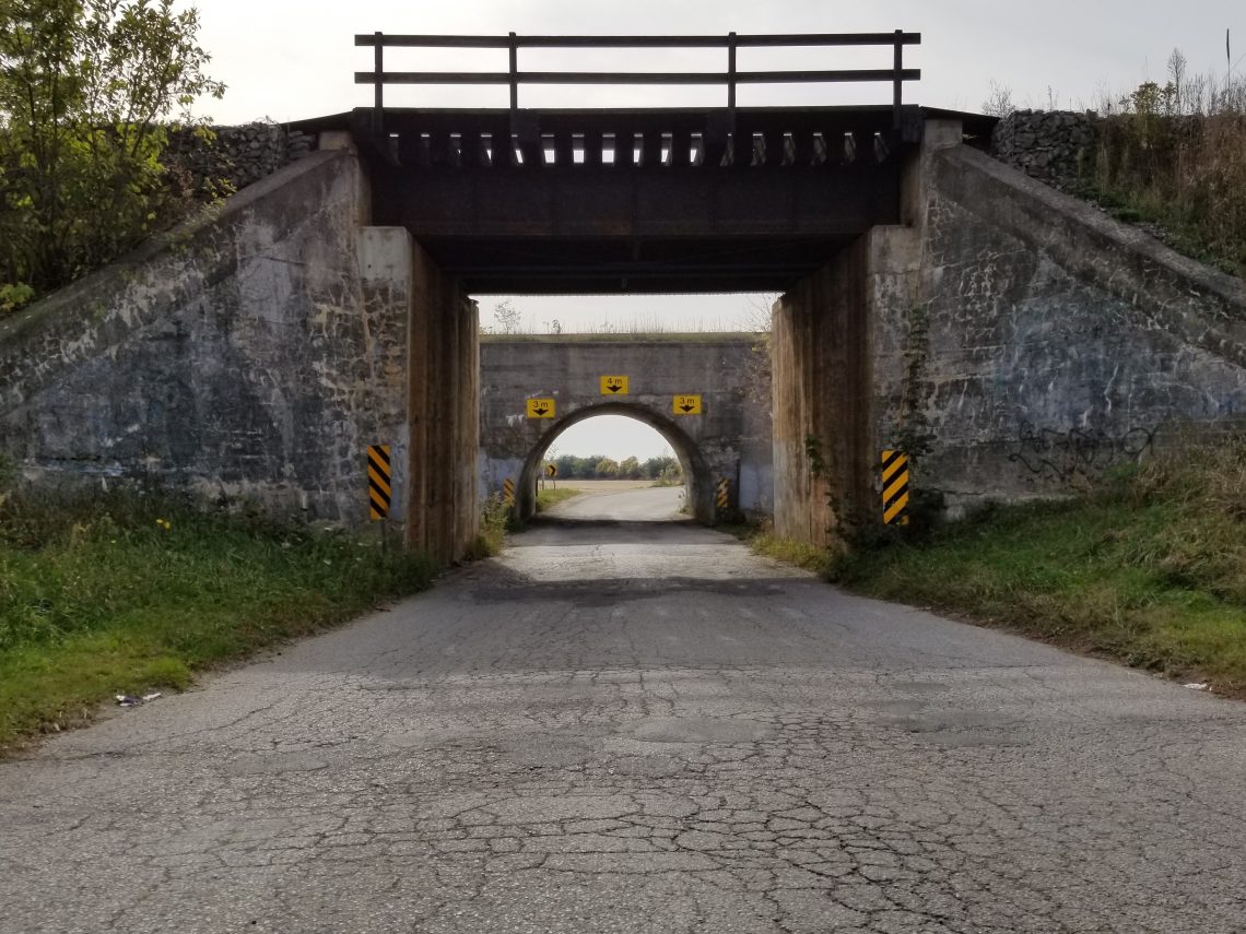
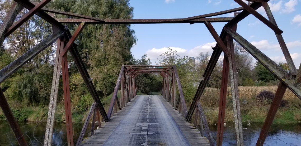
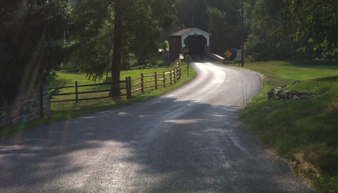
Some other vestiges of times past, are kilns and quarries, dams, bridges, tunnels, school houses, and of course churches. Sometimes the features are right in the street name, but searching for any of these features is a good tactic. There are even entire websites dedicated to just historic bridges and if an old bridge remains, it’s likely a narrow road with little traffic, and we know bridges cross creeks and rivers – sounds like a good recipe doesn’t it?
One usually thinks of dusty western deserts when the term ‘ghost town’ is used, however the truth is ghost towns exist all over the continent. While they may not appear readily on a map, these towns of past still intrigue us and are extensively covered in books and websites online.
So we are nearly ready to refer to mapbooks. But before we go to the obvious resources, lets cover a few more less obvious ones. While I haven’t actually used the word yet, what we’ve been discussing so far relies heavily on topography, the actual physical contours of the land, the elevation differences. While we could refer directly to topographic maps they aren’t readily available at the auto club, or gas station, and they certainly aren’t easy to read on the side of the road. However there are hints to topography found in more readily available resources.
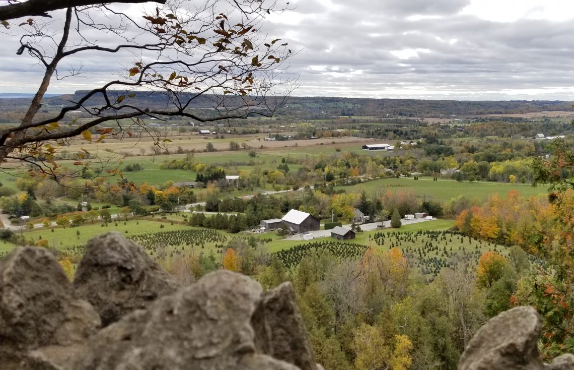
Sadly humans consume and use every square inch of land that we can unless it is cost prohibitive. Generally speaking we avoid building on the sides of mountains or large hills, landslides, avalanches, or just the sheer cost of building are some obvious reasons why. Added to that is that we heavily rely on agriculture. The best arable land is flat receiving sunlight all day, expansive, and fed by rivers.
It is for that reason that our Provincial, State, and National parks and Public Land are either extremely remote, or in areas otherwise too expensive to build on or to farm. Usually because of the proliferation of mountains, hills, lakes, swamps and marsh land.
Locating these parks or federal lands is a sure fire method of finding good driving roads. Finding the parks is straight forward, they are the green areas on the map however finding federal lands requires a bit of effort. In the United States these lands are governed by the BLM the Bureau of Land Management and maps are available from them. In Canada maps showing Crown land are available online at each province’s website.
These same areas are also the destinations of skiers, sport fishers, rock climbers, kayakers, canoeists, mountain bikers, hunters, ATVers, 4×4 offroaders and many others. In most cases the roads leading to these destinations are great driving roads, so investigating where these outdoor sportfolk are active will surely lead you to good driving roads.
Okay time to finally discuss the obvious tool of the trade, the atlas or mapbook and folding maps. As a reminder we are still discussing the finding and planning stages of the process. For that reason size wins. Size in this case meaning big pages not many pages. Using a large easily legible atlas or folding map will make your work easier and likely will show ALL road whereas smaller versions omit the smaller backroads. In order to get the most detail, it’s advisable to purchase an atlas covering as small a geographic area as possible for your needs. For example you’ll likely get a more detailed map in an atlas covering your province or state than you would an atlas showing an entire country or continent.
To get the most out of your atlas or map take the time to learn the legend, differentiating between freeways and two lanes highways, or our absolute favorites recreational roads is essential. As we have been reminded a few times recently identifying gravel roads is also important when planning routes others will be travelling. While we don’t have paint jobs worth worrying about many others do!
If you are using an atlas or map that includes topography, learning how to read the contour lines, and associating the colours used with the grade will be an invaluable asset.
The Frontseat Driving atlases of choice for planning routes in Canada are by Backroad Mapbooks. While our preference would be for even larger maps, truthfully they are of a size more conducive to bringing along in the car. Being spiral bound makes them even easier to use in the tight confines of the cabin, if you choose to bring them along. More importantly they include an incredible amount of info. Topographic contour lines, roads of all sizes, even deactivated roads, snowmobile routes, and motorized trails are included.
As was mentioned earlier, knowing where outdoor enthusiasts go to have fun is a good clue to where the good driving is. The BRMB mapbooks include info on hunting, fishing, paddling, ATV, and camping destinations among other pursuits all adding to their usefulness.
In the United States our go to resource is Mad Maps. Mad Maps produce water and tear resistance folding maps made for the tough life on the road. What is especially unique about these maps is that they have already compiled the best driving routes around the nation and made them easy to follow. With roadside sites of interest, restaurants, rest stops lodging and gas stations along the route already marked there is little to do but follow along.
What’s in a name? Well often a description. A road or place name with the physical features we have identified as associated with good driving is a bit of a no-brainer isn’t it? Scanning the index for river, riverside, lake, pass, gap, rise, ridge, gorge, falls, mountain, hill, valley, rapids, crook, bend, and let’s not forget one of the most common descriptors – snake, is an excellent method of identifying good driving roads.
Finally, simply pouring over a map, looking for the blue squiggles of a river or creek, that cut through a block of green forested land, and the fine curvy lines of a backroad following alongside it can be not only informative but with relaxing music on in the background and your favorite beverage within reach also quite enjoyable itself. Or maybe it’s just me which could explain how I ended up with a website about driving.
As great as books and maps are, there is no denying the value of the internet. Like most things in life consulting with others is an unparalleled resource. The internet is a phenomenal tool to this end. Likely you are a member of at least one vehicle related forum frequented by folks from all over the country, the continent, maybe the world. Reaching out to others for driving route suggestions is a great opportunity to take advantage of, one we regularly use when planning routes abroad. Probably the single most active group of drivers going, are motorcyclists. They are also very active on the internet, regularly sharing their favorite routes online with maps, photos, and even updated road conditions. There are websites that are solely focused on a single driving route or even a single stretch of road.
Of course we don’t only rely on paper maps, in fact we usually refer constantly to street views on Google while pouring over our atlas. Coming soon we’ll look at some of the online resources that are out there, as well as apps and route mapping tools. In the meantime if you have some tips of your own on finding good driving roads or just want to share your favorite drives, we’d love to hear from you. Contact us, comment below or use our Facebook Page.